ROUTE · Subcarpathia
Rzeszów – Krosno
Powiatówka's second route is 105.1 km of roads in Subcarpathia, from Rzeszów to Krosno. Past Tyczyn the road climbs into the Dynów Foothills, with gradients of up to 14%, and runs through Błażowa, Dynów on the San and the Świnka valley to Brzozów; just before the finish it passes the UNESCO-listed wooden church in Haczów. The bends and hills are where they are in real life, because the route is built from OpenStreetMap data and the GUGiK terrain model.
- length
- 105.1 KM
- towns and villages
- 34
- junctions
- 131
- roundabouts
- 6
- zebra crossings
- 114
- level crossings
- 0
- road signs
- 670
- places from the map by the road
- 469
STAGES
Stage by stage
You don't have to drive the route in one go: the game remembers where you stopped, and every town or village you drive through earns a stamp in your passport. The number on each picture is the kilometre where it was taken.
-
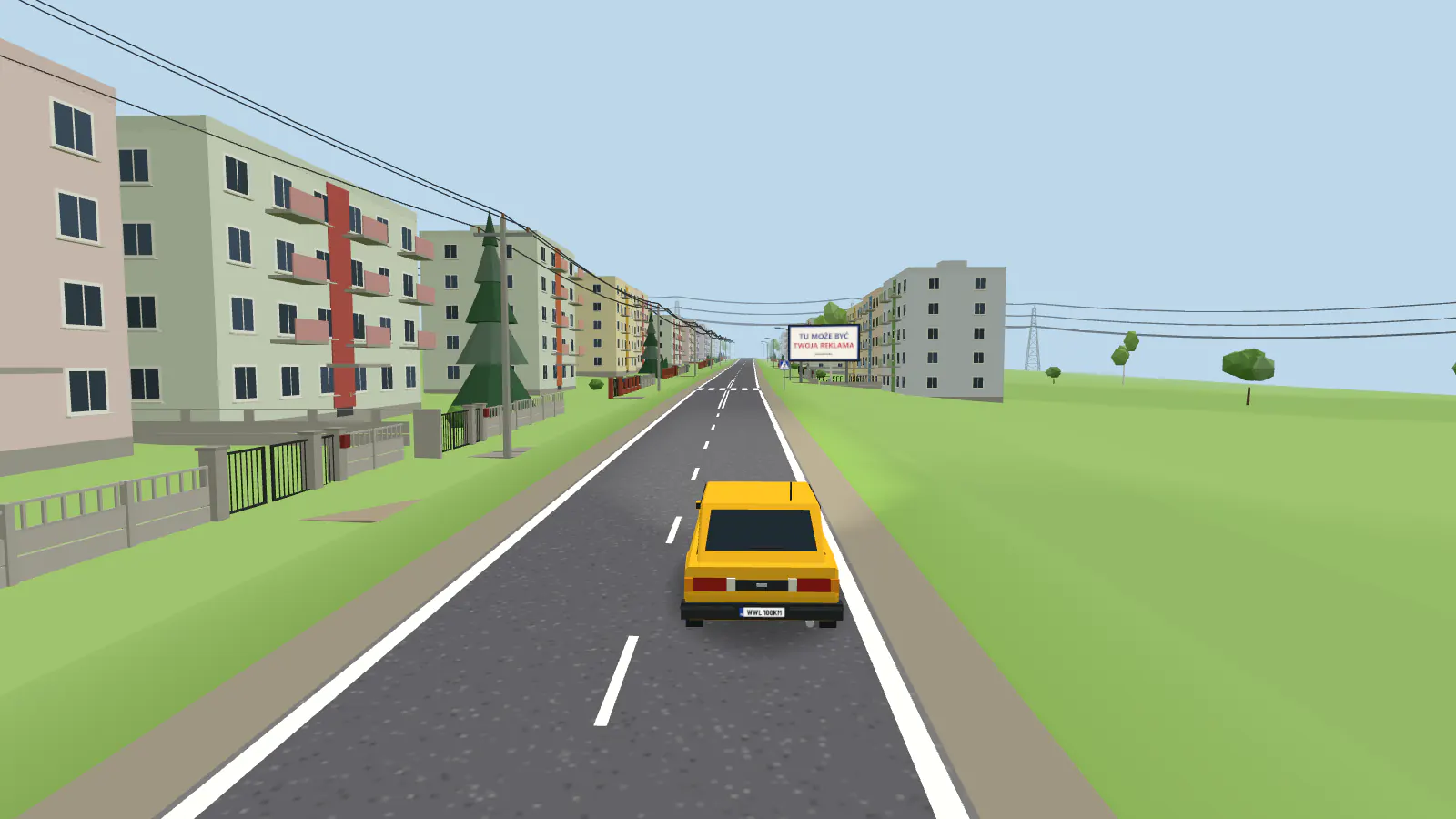 KM 5.2
Rzeszów → Błażowa
You set off from the centre of Rzeszów, cross the Wisłok on the Castle Bridge and pass most of this route’s traffic lights. After Tyczyn, with its market square and Holy Trinity church, the road climbs into the Dynów Foothills: before Borek Stary the climb reaches 14%, and a wall for painting waits at kilometre 12.5.
-
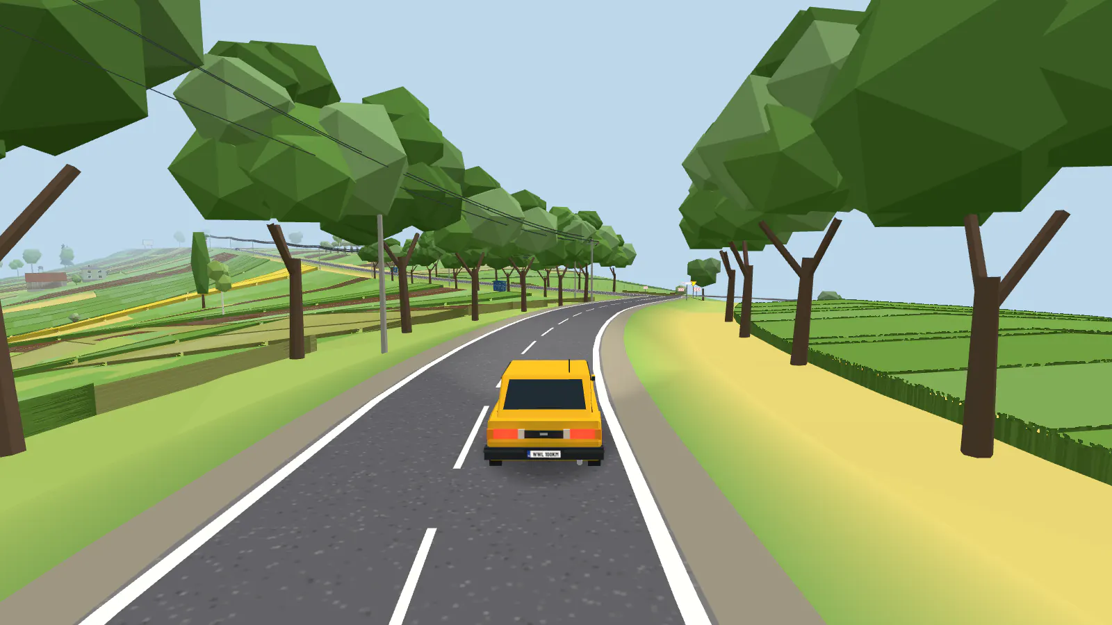 KM 30.2
Błażowa → Dynów
In Błażowa you pass the market square and St Martin’s church, then follow regional road 884 through Kąkolówka, Futoma, Piątkowa and Łubno. This is the highest stage of the route, with climbs of up to 13% and an avenue of trees in Łubno.
-
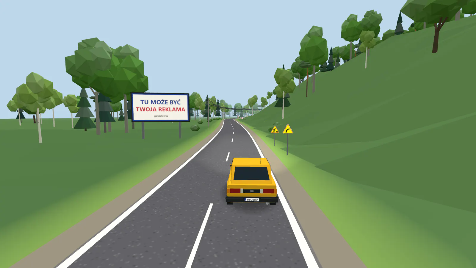 KM 40.7
Dynów → Dydnia
Dynów is a small town on the San, with a market square and St Lawrence’s church, which you reach uphill. Then regional road 835 runs between the hills and through a beech and fir wood near Nozdrzec, then through Wara and Niewistka, over a dozen streams, and a wall for painting stands at kilometre 45.
-
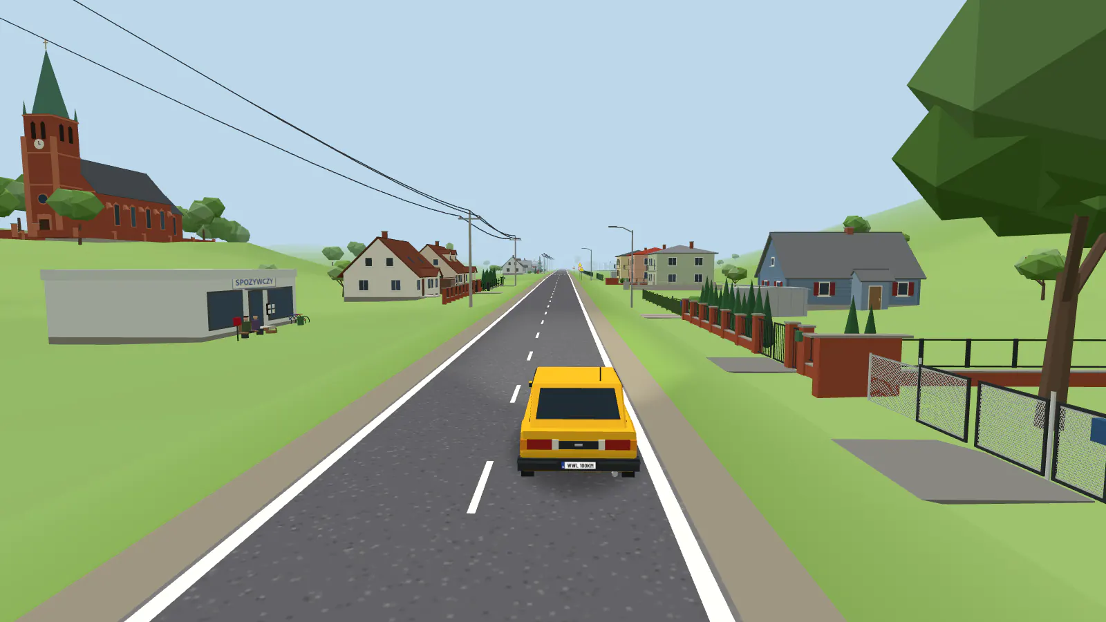 KM 57.2
Dydnia → Brzozów
This stage follows the Świnka valley: the road crosses the stream several times and passes the churches of Dydnia, Jabłonka and Niebocko. Through Grabownica Starzeńska and Humniska you reach the Archbishop Tokarczuk roundabout at the edge of Brzozów.
-
 KM 74.7
Brzozów → Haczów
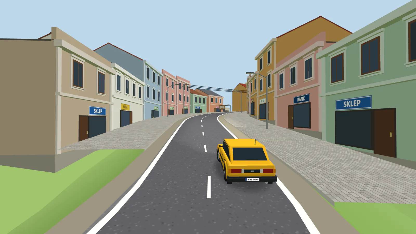
Through Brzozów the route follows Traugutta, Poniatowskiego and Kościuszki streets past the market square, and a notice board stands at kilometre 74.7. Beyond the town, regional road 887 runs through Turze Pole, Jasionów and Buków, a wall for painting waits at kilometre 80.5, and before Haczów you cross the Wisłok.
-
 KM 93.7
Haczów → Krosno
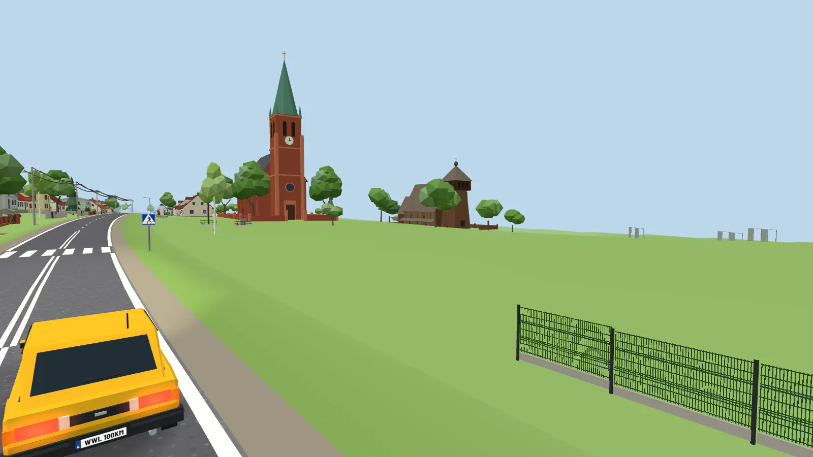
In Haczów a fourteenth-century Gothic wooden church, on the UNESCO list, stands beside the new one. Past Iskrzynia and Krościenko Wyżne the route crosses the Wisłok for the third time and enters Krosno between its blocks of flats, and the finish is by the Old Town, past the Blood Donors’ roundabout.
AGAINST THE CLOCK AND TOGETHER
Drive alone or with friends
With cruise control the whole route takes just under two hours, and the game remembers where you stopped. Against the clock you drive it in the county criterion, in one go or stage by stage, with the week's checks and a ranking of its own, and every day the day's special stage waits on a stretch of it. You can also invite friends to ride together.